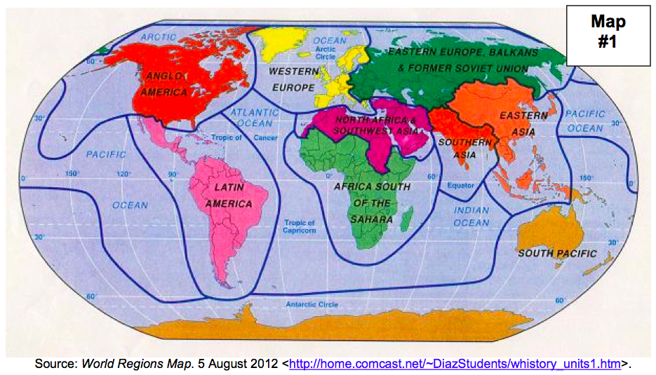
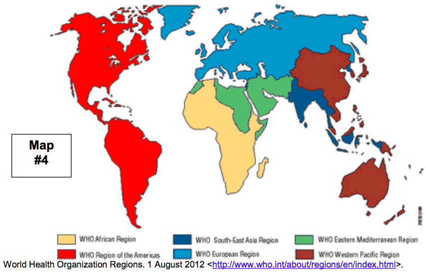
Below are the four maps of regions on Earth that we used for the back page of our Unit 2, Lesson 5 packet this afternoon. You should be able to click on a map to make it larger, if needed.


ACT Friends (and anyone who missed class today):
Your task is to analyze these four maps and try to understand what criteria the different geographers used to divide planet Earth into regions. Summarize your findings on the top half of the back page in your Unit 2, Lesson 5 packet. This is due Wednesday during Social Studies.
Students who were in class today:
Your task is to make sure that packet page is completely finished, with your best effort. This is due Wednesday during Social Studies.
Also, all students:
Please consider comparing your chart from the Unit 2, Lesson 4 packet (major physical features) with my notes at this link. If you missed any of the group presentations, or if you didn't take great notes while your classmates were presenting, you might want to copy my notes onto your packet so that you are well prepared to study for our Unit 2 test. That test will be the first week of May.
Let me know if you have any questions!