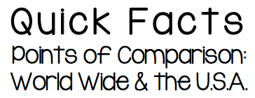
Click the image above to see Mrs. Steele's chart that compares the "Quick Facts" for the entire world and for the United States.

The CIA World Factbook is a great resource for Quick Facts data about countries. This would include countries' GDP, life expectancy, literacy rate, infant mortality rate, population density, poverty rate, etc.

This is a great online encyclopedia to which JPS subscribes, but sometimes the link doesn't "stick" on our computers. If you click the link and only see three World Book products (Kids, Early World of Learning, and a Spanish encyclopedia), click
"Find Your School or Library" near the globe in the top, right corner of the page. Choose the first school on the list. Then, you should see many products including World Book Student, which is what you want. This is a great resource for finding government and climate information about your country in sixth grade friendly language.
"Find Your School or Library" near the globe in the top, right corner of the page. Choose the first school on the list. Then, you should see many products including World Book Student, which is what you want. This is a great resource for finding government and climate information about your country in sixth grade friendly language.

Country Reports is a great resource for information about languages and currency, as well as pictures of your country.
If asked for a user ID and password, use jenison for the User ID and wcats for the password.
If asked for a user ID and password, use jenison for the User ID and wcats for the password.
Click HERE to see the list of countries assigned to each student.
Click HERE to see Mrs. Steele's Country in a Box work for the United States.
Click HERE to access Population Pyramid links and directions.
Click HERE to see Mrs. Steele's Country in a Box work for the United States.
Click HERE to access Population Pyramid links and directions.
| 1516_country_projects_directions.pdf |
| 1516_country_projects_rubric.pdf |
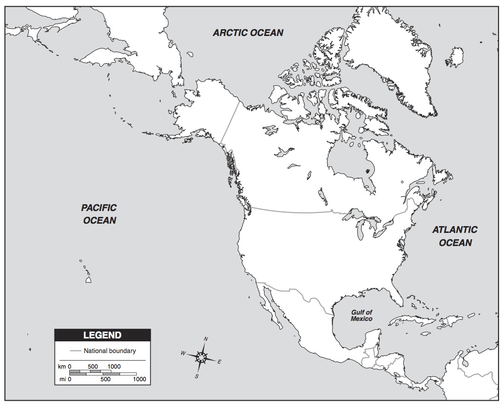
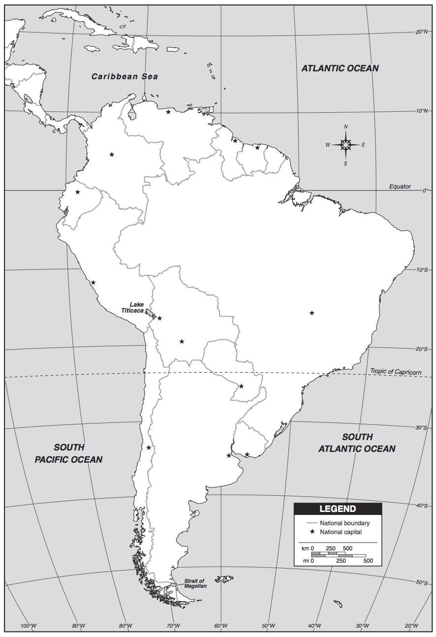
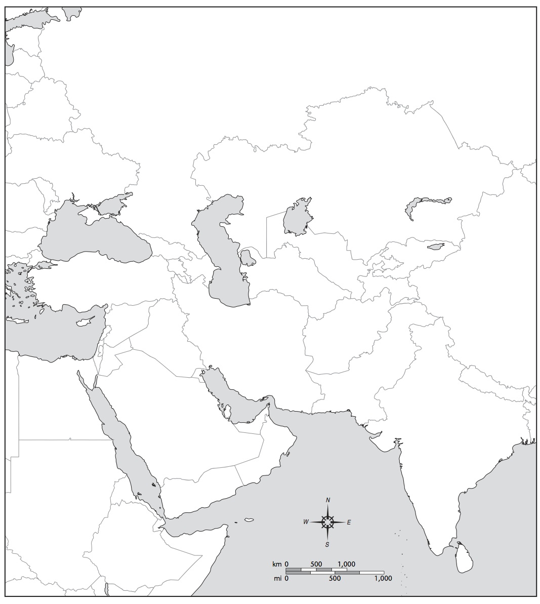
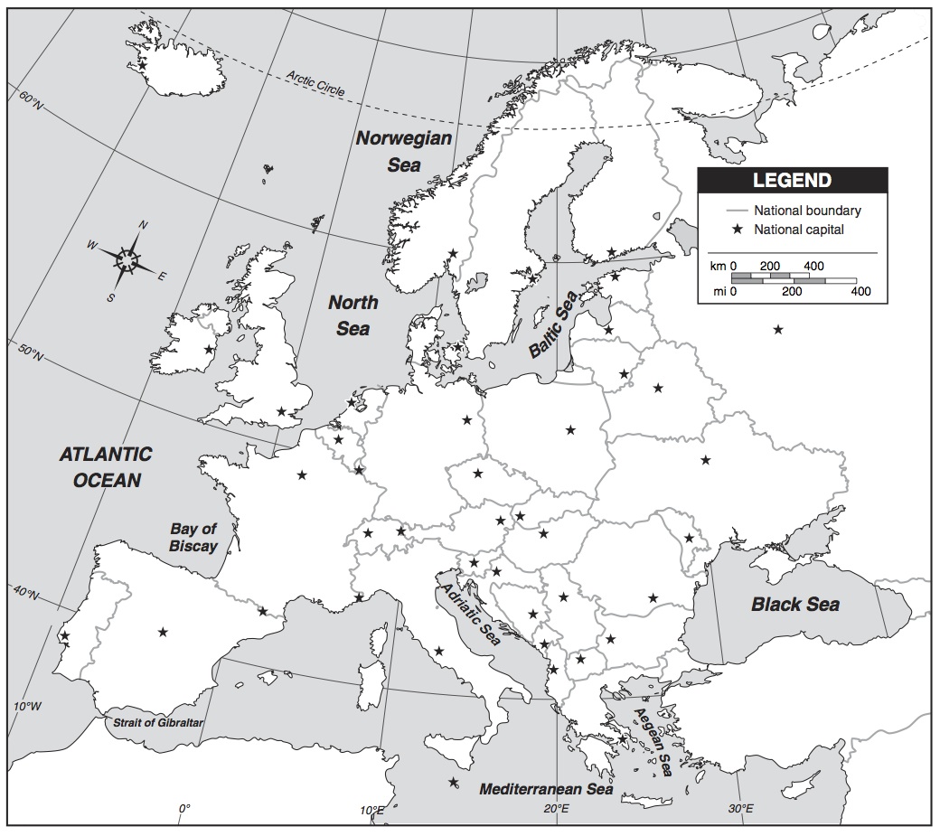
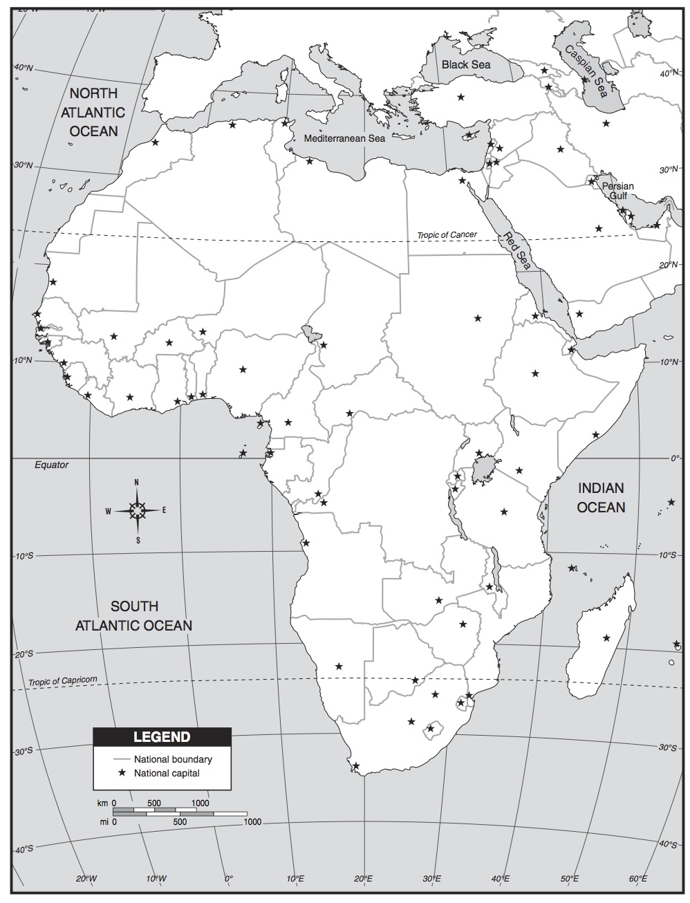
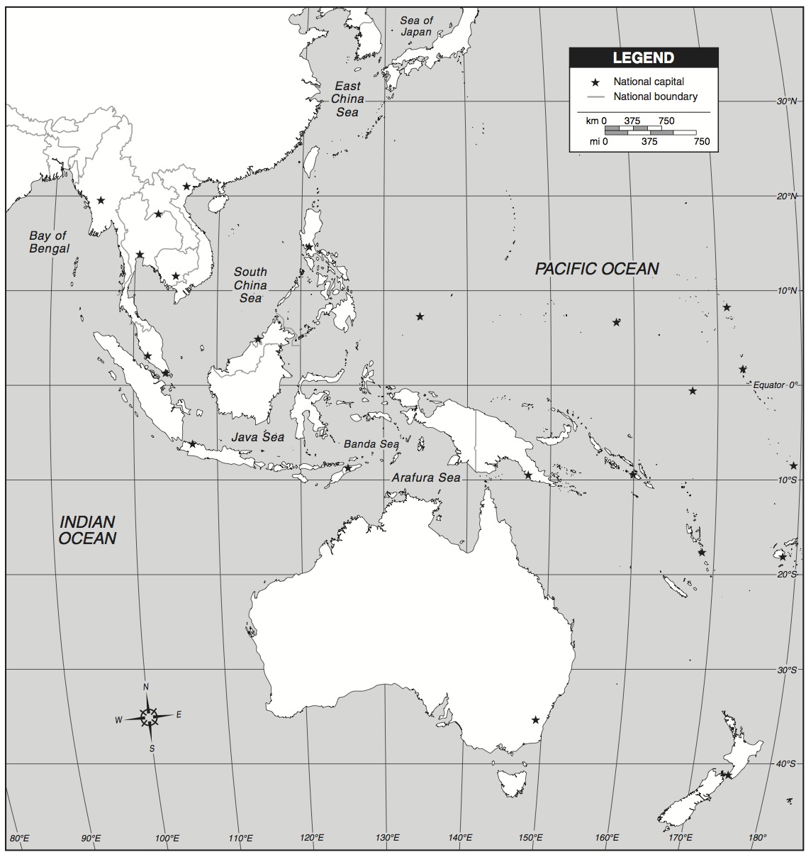
The map that you should be using for the inside, bottom of your box can be downloaded using the links below. If you need help selecting the correct map for your project or resizing it before printing, please let me know!
(All maps were taken from http://www.eduplace.com/ss/maps/)
(All maps were taken from http://www.eduplace.com/ss/maps/)
|
| ||||
|
| ||||
|
| ||||
|
| ||||
| map_australia_and_indonesia.jpg |